
GIS & Environmental Data
Course Description:
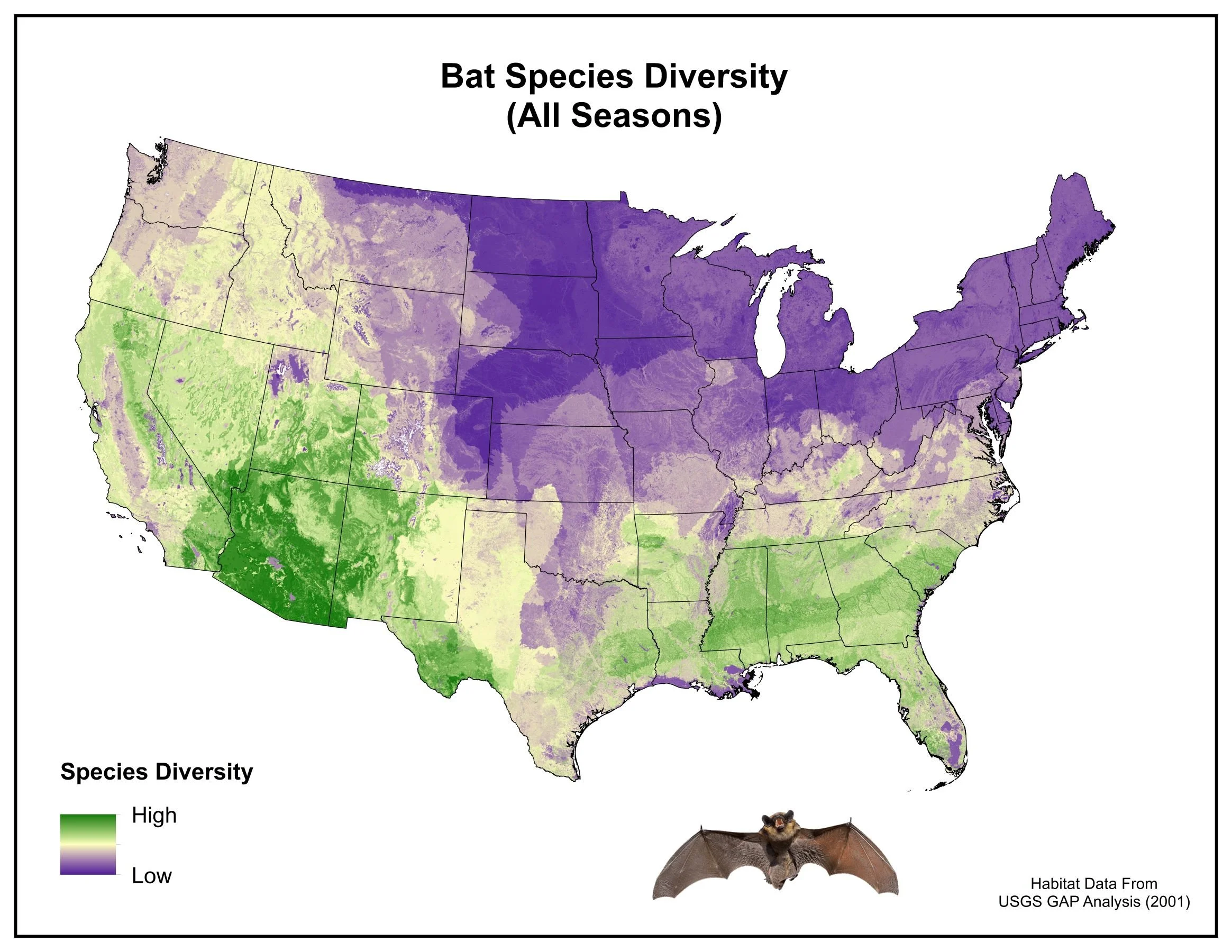
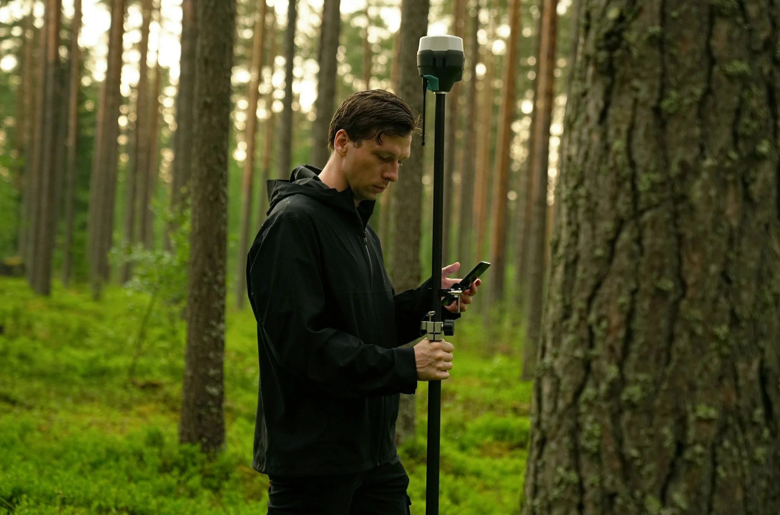
This course provides applied training in the use of geographic information systems (GIS) and environmental data management for wildlife and ecological projects. Using QGIS, participants learn to import, organize, and visualize spatial data, create professional-quality maps, communicate scientific data, and support environmental reporting workflows.
The course also introduces principles of data quality assurance and quality control (QA/QC), including data cleaning, validation, and standardized formatting. Emphasis is placed on practical workflows used in environmental consulting and monitoring programs.
By the end of the course, participants will be able to manage spatial datasets, perform basic analyses, and produce maps and data outputs suitable for project documentation.